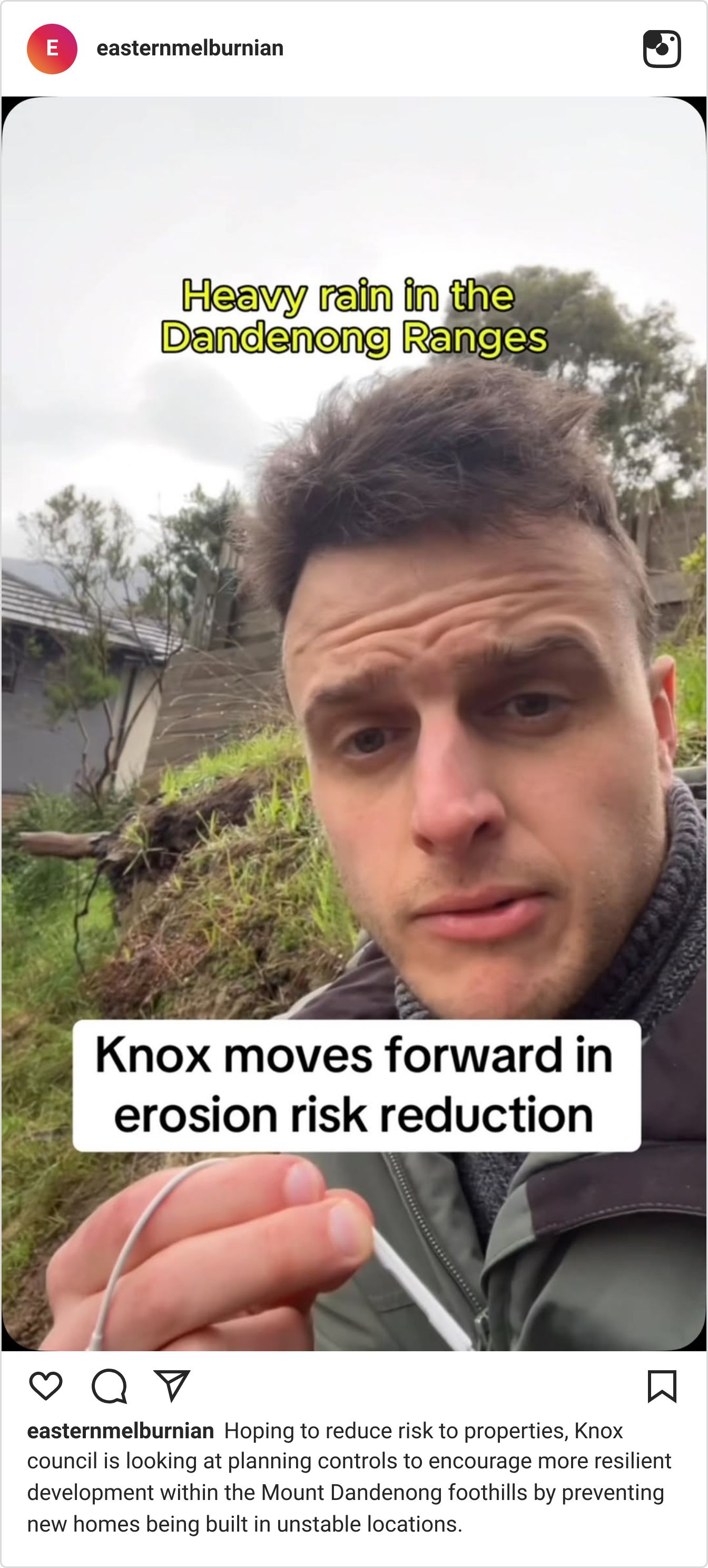

Heavy rain in the Dandenong Ranges can turn hillsides into fast-moving rivers of mud, rocks and fallen trees, with debris travelling more than a kilometre downhill within three to four minutes.
Hoping to reduce risk to properties, Knox council is looking at planning controls to encourage more resilient development within the foothills by preventing new homes being built in unstable locations.
🪨 Why is this happening? Knox’s most recent recorded “debris flow” – a landslide that behaves like a river of mud and boulders due to heavy rainfall – occurred in 2020 along Burwood Highway in Ferntree Gully after heavy rain, likely worsened by vegetation loss.
A year later, severe storms in June 2021 triggered widespread landslides – when soil, rocks and vegetation moved down a slope – across the Dandenong Ranges.

Following these events, Yarra Ranges council began investigating expanded planning controls to reduce the risk to people, property and infrastructure in vulnerable areas, including the hillsides along the Yarra River valley, the mountains of the Dandenong Ranges and agricultural areas of Silvan, Monbulk and Seville.
A planning panel has since recommended the Yarra Ranges council approve the new overlay, with a decision on next steps to be considered at its September 8 meeting.
In November 2025, Knox council commissioned a preliminary landslide risk assessment to determine whether parts of the municipality should also be subject to planning controls after research showed debris flows from the Dandenong Ranges could reach Knox.
⛈️ Climate risks: Knox Council's Climate Response Plan recognises climate change is increasing the frequency and intensity of heavy rainfall and storms, placing greater pressure on slopes, drainage systems and infrastructure.
📍 What’s happening? At its meeting on Monday July 27, Knox councillors agreed to begin a detailed assessment that could eventually lead to an Erosion Management Overlay – a planning control for land at risk of landslides or debris flows.
The initial study found debris flows could impact areas and properties in Knox because of their speed and destructive potential.
If a property is included in an EMO, owners seeking planning approval for development or earthworks would need a geotechnical assessment to demonstrate the land is safe.

⏭️ What’s next? Council staff will now complete property-level assessments over the next six to nine months towards developing a plan to reduce the risk of future landslides damaging homes and infrastructure.
The next stage will focus on The Basin, Ferntree Gully, Upper Ferntree Gully and Lysterfield, with affected property owners set to be consulted before work commences.
Thumbnail Image Credit: Mayish